How to Use the Route Map Feature in "Japan Transit Guide Powered by Ekispert"
The "Japan Transit Guide Powered by Ekispert" route map feature is an online service that allows users to view public transportation route maps across Japan.
With this feature, you can easily check routes and connections for trains, bullet trains (Shinkansen), airplanes, and ferries.
By understanding station locations, you can determine the most efficient travel methods during your journey.
Below, we’ll explain the basic usage of this feature in detail.
Basic Operations
1. Navigating and Zooming the Route Map
You can move the route map by dragging with your mouse or swiping on a smartphone.
Use the "+" and "-" buttons located at the top-right corner of the map to zoom in and out
Alternatively, you can use your mouse wheel or pinch gestures (pinch in/out) for zooming on touch devices.
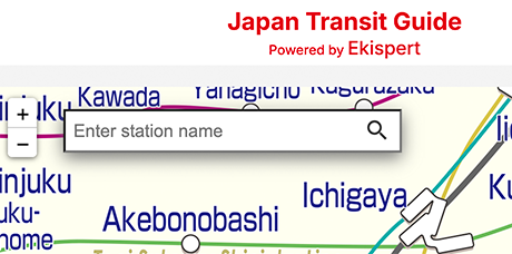
2. Searching for Stations
Use the search box at the top of the screen to enter a station name. The map will center around the selected station, displaying its surrounding routes.
Practical Use Cases
1. Checking Routes to New Destinations
This feature is particularly helpful for planning routes when traveling or visiting a new area for business.
2. Understanding Complex Transfers
In major metropolitan areas like Tokyo and Osaka, transfers can be complicated due to the dense network of routes.
By using this map, you can identify transfer points in advance.
Additionally, it helps you evaluate whether buses or walking might be faster than taking the train for certain areas.
Route Map Display Legend
1. Stations
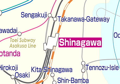
a. Station Shapes
Major stations like Shinjuku are represented with shapes that reflect their actual layouts.
Pink areas indicate underground pathways accessible for walking.
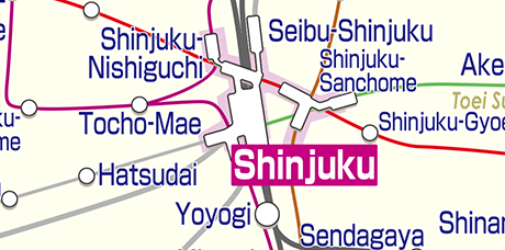
b. Station Names
Larger stations are labeled in purple, Among them, important stations are highlighted in purple.
2. Routes
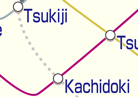
a. Dotted Lines (Walking)
Thick dotted lines, such as those between Shintomicho and Tsukiji, indicate walkable connections between stations.
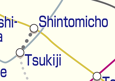
b. Dotted Lines (Bus)
Thin dotted lines, like those between Tsukiji and Kachidoki, represent bus routes.
Only major bus routes connecting stations are displayed.
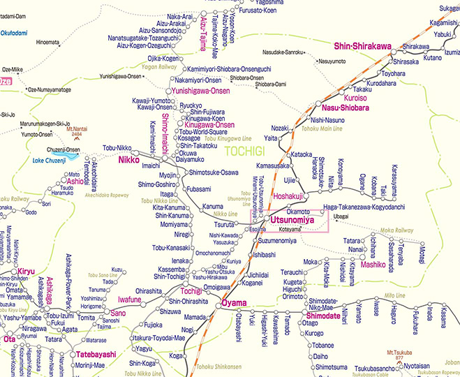
c. Shinkansen Routes
Orange and white striped lines represent Shinkansen bullet train routes.
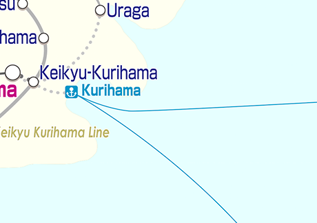
d. Ferry Routes
Blue lines over water indicate ferry routes.
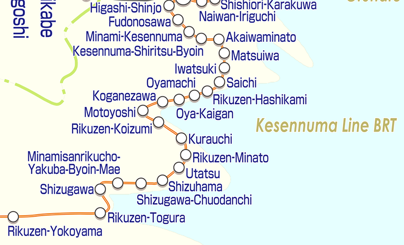
e. Bus Rapid Transit (BRT)
Lines with an orange outer edge and white interior represent bus rapid transit routes.
3. Other Features
a. Map Scale
The route map is stylized for clarity and does not reflect actual geographic proportions.
For example, the shape of Tochigi Prefecture may differ significantly from reality.
The location of Okinawa Prefecture also differs significantly from actual.
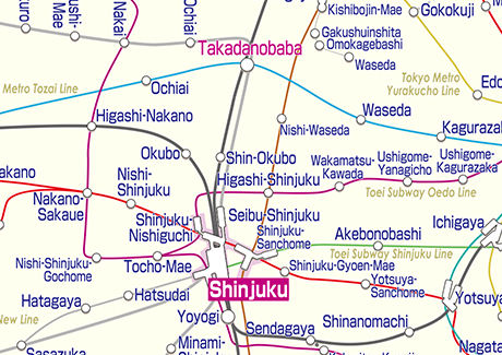
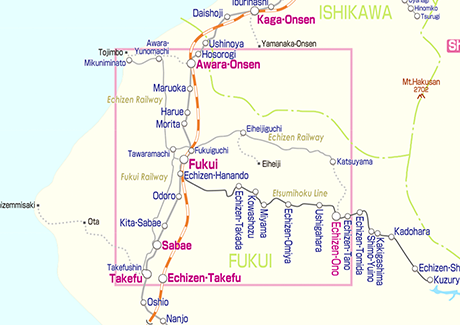
b. Pink Frames
Pink-framed areas indicate sections of the map with more detailed route information available upon zooming in.
Supported Devices and Usage Environment
- PC Browsers: Compatible with major browsers such as Chrome, Firefox, Edge, and Safari.
- Smartphones and Tablets: Optimized for mobile UI, making it convenient for use while traveling.
- Recommended Environment: Using the latest browser ensures a smoother experience.
Summary
The "Japan Transit Guide Powered by Ekispert" route map is a highly intuitive online tool for checking transportation routes across Japan.
It’s especially useful for travelers relying on railways, helping them navigate their journeys with ease.
Even first-time users can operate it effortlessly thanks to its user-friendly design.
We encourage you to make the most of this feature during your travels in Japan!

Lastly, we’d greatly appreciate it if you could take a moment to answer this survey after using the service:
> "Japan Transit Guide Powered by Ekispert" User Survey
Your feedback is invaluable to us.
The team at Val Laboratory Corporation wishes you a wonderful journey in Japan!